Nguyen Luong Hai Khoi
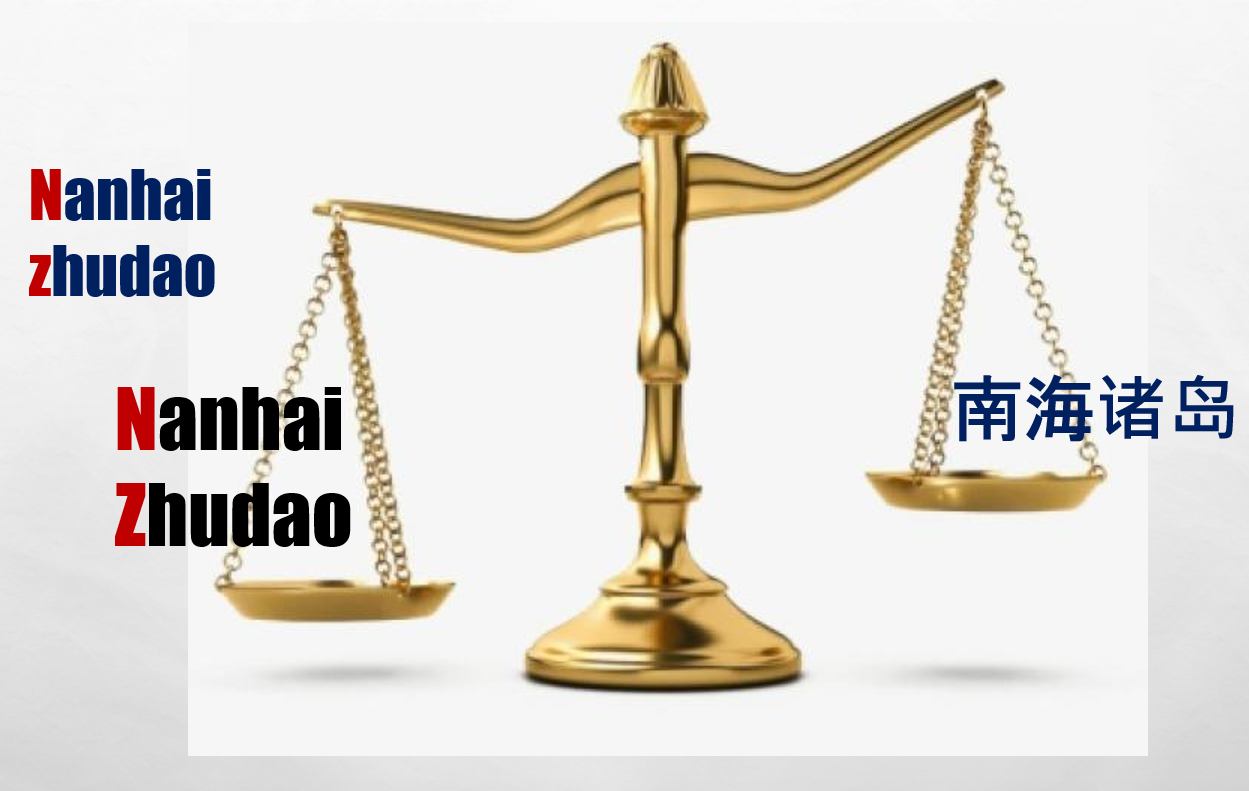
China’s Recent Invention of “Nanhai Zhudao” in the South China Sea (Part 1: The birth of “Nanhai Zhudao”, Part 2: Examining the “Nanhai Zhudao” legal basis)
In the note protesting Malaysia on December 12, 2019, China made the following assertions:
- “Nanhai Zhudao” consists of Dongsha Qundao, Xisha Qundao, Zhongsha Qundao, and Nansha Qundao
- This “Nanhai Zhudao” “has internal waters, territorial sea, and contiguous zone,”
- This “Nanhai Zhudao” has an “exclusive economic zone and continental shelf.”
- All the above claim’s legal ground is that “China has historic rights in the South China Sea.”
“Nanhai Zhudao” is a new Chinese tactic launched in 2016, after the PCA tribunal rejected the U-Shaped lines’ legal basis. In 1996, China declared Paracel’s straight baseline. The note protesting Malaysia in 2019 shows that China intends to apply that behavior in the Paracel to draw a straight baseline of the entire Nanhai Zhudao. From that straight baseline, China would claim historic territorial waters, exclusive economic zones, and even 200 nautical miles of the continental shelf for the entire “Nanhai Zhudao” as a single unit. China’s new ambition based on “Nanhai Zhudao” is wider than the U-shaped lines.
China’s claim based on the concept of “Nanhai Zhudao” wholly violates UNCLOS and the Award of the Permanent Court of Arbitration (July 12, 2016).
Straight archipelagic baselines surrounding high-tide features in the South China Sea?
In 2016, China claimed that “China has, based on the Nansha Islands as a whole, territorial sea, exclusive economic zone and continental shelf.” (Foreign Ministry Spokesperson Hua Chunying’s Remarks on Relevant Issue about Taiping Dao (Ministry of Foreign Affairs, the People’s Republic of China, 2016/06/03). This China’s statement implies that the Spratly Islands may be considered an archipelago with straight archipelagic baselines surrounding their high-tide features.
However, according to the UNCLOS, only “archipelagic State may draw straight archipelagic baselines joining the outermost points of the outermost islands and drying reefs of the archipelago provided that within such baselines are included the main islands and an area in which the ratio of the area of the water to the area of the land, including atolls, is between 1 to 1 and 9 to 1.” (UNCLOS, Article 47).
China is a continental state, not an archipelagic state. Each island in the South China Sea is a single geographical feature, not an archipelago. Therefore, under the UNCLOS, straight archipelagic baselines are not permitted[1].
Indeed, the 2016 Permanent Court of Arbitration’s ruling rejected this Chinese claim: “The Philippines is an archipelagic State (being constituted wholly by an archipelago), is entitled to employ archipelagic baselines, and does so in promulgating the baselines for its territorial sea. China, however, is constituted principally by territory on the mainland of Asia and cannot meet the definition of an archipelagic State”. (The Tribunal’s Award in the Permanent Court of Arbitration (PCA) in the South China Sea Arbitration in 2016, Paragraph 573).[2]
Moreover, under UNCLOS, the straight baselines can be applied only for “localities where the coastline is deeply indented and cut into, or if there is a fringe of islands along the coast in its immediate vicinity” (Article 7). Asserting that “these conditions do not include the situation of an offshore archipelago,” the 2016 Permanent Court of Arbitration’s ruling rejects the straight baseline of Spratlys. (The Tribunal’s Award in the Permanent Court of Arbitration (PCA) in the South China Sea Arbitration in 2016, Paragraph 575). This award may apply to each geographic entity in the South China Sea or the whole of the geographic features in this sea as a single unit.
The 2016 PCA Award also “concluded that none of the high-tide features in the Spratly Islands is capable of sustaining human habitation or an economic life of their own, the effect of Article 121(3) is that such features shall have no exclusive economic zone or continental shelf.” (Paragraph 626). This conclusion holds for all geographic entities in the so-called “Nanhai Zhudao” which are smaller than the Spratlys. That is to say, they also cannot have “territorial waters,” “200-mile Exclusive Economic Zone”, “Continental shelf,” and “extended continental shelf” as China claimed.[3]
Article 13 of UNCLOS also states that “a low-tide elevation is a naturally formed area of land which is surrounded by and above water at low tide but submerged at high tide. Where a low-tide elevation is situated wholly or partly at a distance not exceeding the breadth of the territorial sea from the mainland or an island, the low-water line on that elevation may be used as the baseline for measuring the breadth of the territorial sea.” There is no geographic feature in the so-called “Nanhai Zhudao” with those characteristics. Therefore, it is impossible to use them as “the baseline for measuring the breadth of the territorial sea.”
“Historical basis”
Finally, China uses the so-called “historical basis” to claim sovereignty over geographic entities in South China. However, China has no evidence to back up the state sovereignty enforcement over the Paracel and Spratly before the 20th century (See: Examining the “historical evidence” for China’s sovereignty over the South China Sea islands, US Vietnam Review, University of Oregon, June 16, 2020).
China was not present in the Paracel until 1956. From 1939 to 1945, Japan invaded the Paracel and Spratlys administered by France (as part of Indochina under the French colonial rule) and placed them under the administrative control of the Government-General of Taiwan (Japanese: 台湾総督府 Taiwan Soutokufu), the regime governing Taiwan under Japanese rule from 1895 to 1945[4]. After World War II, Japan handed over those islands to Taiwan. In 1956, Taiwan handed over the Paracel’s Amphitrite group (Vietnamese: “An Vĩnh,” Chinese: Xuande Qundao 宣德群島) to China. The Republic of Vietnam (South Vietnam) objected to this transfer. In 1974, China attacked the rest of the Paracel under the administration of the Republic of Vietnam.
China did not have any presence in the Spratlys until 1988 when China’s warships attacked Vietnam’s soldiers to seize Johnson Reef (Vietnamese: Gạc Ma) and many other geographical features, then continued to expand its occupation since 1995.
Because of sovereignty acquisition through invasion and annexation, the Chinese occupation of the Paracels and Spratlys, the main parts in the so-called “Nanhai Zhudao,” violates the United Nations Charter (Article 2).
The invention of the concept “Nanhai Zhudao” again exposes the Chinese tactics to intentionally confuse UNCLOS concepts (archipelago, archipelagic baseline, straight baseline, territorial sea, historical water, exclusive economic zone, continental shelf, etc.) to take over the entire South China Sea.
China’s intention to change international law
The invention of the concepts “Nanhai Zhudao” to call all geographic entities in the South China Sea as a single unit is an implementation of legal warfare (法律战 Falu Zhan), apparently part of the trilogy “Three Warfares” theory (三战理论 Sanzhan lilun) including “media warfare” or “public opinion’s warfare” (舆论战 yulun zhan), psychological warfare (心理战 xinli zhan) and legal warfare (法律战 falu zhan).[5]
In the note protesting the Chinese attitude, France, Germany, and the United Kingdom “recall the universal and unified character of UNCLOS.” In response to France, Germany, and the United Kingdom, China quotes paragraph 8 of UNCLOS’s preamble, stating that “matters not regulated by this Convention continue to be governed by the rules and principles of general international law.” And then, China states that UNCLOS needs to continue to be improved: “Since its adoption in 1982, UNCLOS has continuously developed and improved. The ongoing negotiation for an international instrument on the negotiation and sustainable use of marine biodiversity in areas beyond national jurisdiction is an important effort for the development and improvement of UNCLOS“. Evidence that China uses here (the conservation and sustainable use of marine biodiversity) is utterly unrelated to the issue discussed, just controversy for controversy’s sake. However, it shows that China intends to change international law so that the claim of the whole of the South China Sea can be in line with their “new law.”
Notes
[1] During the UNCLOS negotiation process, the issue of applying straight archipelagic baselines to the group of islands that belongs to the continental state was rejected (Third United Nations Conference on the Law of the Sea, Volume III: Documents, A / CONF.62 / L.4, p.81-83)
[2] In 1996, the United States also opposed the straight baselines for the Paracels. (the United States Department of State, the report Limits in the Seas, N0. 117, p.8)
[3] The Award of the PCA also declares that Mischief Reef (Chinese: 美济礁 Meiji Jiao, Vietnamese: Vành Khăn) “is a low-tide elevation that falls within an area where only the Philippines possesses possible entitlements to maritime zones under the Convention. Mischief Reef, therefore, can only constitute part of the exclusive economic zone and continental shelf of the Philippines; it does not lie within any entitlement that could be generated by any feature claimed by China (or another State)”. (The Award by the Tribunal in the Permanent Court of Arbitration (PCA) in the South China Sea Arbitration in 2016, Paragraph 1030).
[4] 齋藤 道彦、「日本による南シナ海諸島・礁の領有」、人文研紀要 (88), 51-80, 2017 中央大学人文科学研究所 (Saito Michihiko, Possession of Islands and Reefs by Japan in the South China Sea [in Japanese], Bulletin of Humanities Research (88), Chuo University, Tokyo, Japan, 2017, p. 51-80.
[5] The “Three Warfares” theory (三 战 理论 Sanzhan lilun) was first published in “The PLA Political Work Regulation” (中国人民解放军政治工作条例) in 2003 and renewed in 2010.
Related article:
China’s Recent Invention of “Nanhai Zhudao” in the South China Sea (Part 1: The birth of “Nanhai Zhudao”, Part 2: Examining the “Nanhai Zhudao” legal basis)
 Politics & Economy4 years ago
 Society & Culture5 years ago
 ARCHIVES5 years ago
 Politics & Economy4 years ago
 Politics & Economy1 year ago
 Politics & Economy5 years ago
 After 19751 year ago
 Politics & Economy4 years ago
